GPS eTrex Touch 35


Description
Handy portable GPS/GLONASS navigation device with touch screen, 3-axis electronic compass and barometric altimeter
- 2.6″ colour touch screen
- 3-axis electronic compass and barometric altimeter
- High-sensitivity GPS and GLONASS satellite receiver for faster positioning
- 4 GB internal memory for more maps
The eTrex Touch 35 is durable and waterproof, while the touchscreen offers unique ease of use. With its electronic compass and connectivity features, it will become an indispensable tool on all your outings. It is also available pre-loaded with the road and topographical map of Greece, TopoDrive Hellas for the best resolution throughout Greece.
See the road
The eTrex Touch 35 features a 2.6-inch colour touchscreen for excellent clarity even in the sun. It’s durable and waterproof to withstand all conditions. Its sophisticated design maintains the range’s renowned resistance to dust, moisture or water.
New tools for hiking
The eTrex Touch 35 has a 3-axis electronic compass, which displays direction even when you’re not moving, no matter how you’re holding it. With the barometric altimeter, it records pressure changes to accurately calculate altitude and can display a barometric pressure graph, which can help you spot changes in weather conditions.
Take it everywhere
With a wide range of compatible mounts, the eTrex Touch 35 can be mounted on any vehicle for any use. With the TopoDrive Hellas map (included in some versions, sold separately for others) you can get detailed guidance on the entire road network of Greece as well as on trails for navigation in the countryside.
Unrivalled satellite signal reception
The eTrex Touch 35 supports the simultaneous use of GPS and GLONASS satellite systems. When using both systems, the receiver tracks 24 more satellites than when using GPS alone. With orbit prediction thanks to Hotfix technology, eTrex instantly tracks your position and maintains it in all conditions.
Adding maps
The eTrex Touch 35 has 4GB of internal memory and a micro SD slot for adding additional maps such as the BlueChart g2 nautical chart. It supports BirdsEye Imagery satellite imaging (subscription required), which allows you to download satellite images to the device and integrate them with your maps.
Stay online
The eTrex Touch 35 lets you share your points, routes and courses wirelessly with other compatible Garmin devices. With the Smart Alerts feature, you can keep track of incoming calls and messages received from a compatible smartphone*. You can even use eTrex Touch 35 as a wireless controller for VIRB action cameras.
Plan your next trip
Use the free BaseCamp™ software to view and organise your maps, points and routes. You can even create a complete adventure that includes points, routes and photos and share it in 3D, on your computer screen including elevation. It can even transfer an unlimited number of satellite photos to your device if connected to a BirdsEye Satellite Imagery subscription. *The phone must be Bluetooth Smart. See Garmin.com/BLE for compatibility.
Related products
-
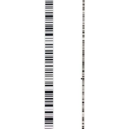

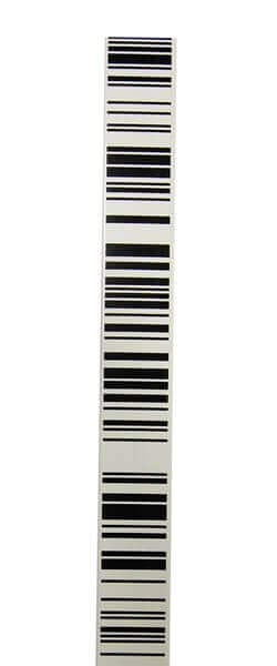
GSS113 fibreglass dual face staff, 3m, 1 section,Sprinter barcode – E-scale cm-graduation, withcircular bubble, transport bag.
-

-
-