


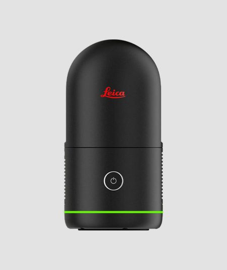
The Leica BLK3D combines the incredible technology of Leica Geosystems AG solutions with unparalleled ease of use and ergonomic design.

")
")
")
")
")
")
Description
The Leica BLK3D is a small, user-friendly real-time 3D measuring solution. By combining measurement sensors, software, and advanced data processing technologies, the Leica BLK3D enables precise, professional-quality measurements to be taken in real-time directly from captured images. Every image captured with the Leica BLK3D provides a complete and precise three-dimensional documentation of the space of interest.
The usability, immediacy, and ease with which users can gather the information they need help professionals make faster decisions in their daily workflows by measuring under any conditions: in hard-to-reach areas, for creating floor plans, documenting building installations, on construction sites, for as-built surveys, etc.
Documentation simply and quickly
Effortlessly, with just a few clicks, users save the stages of each project so they can retrieve this information when necessary.
Access your projects anytime, anywhere
Measurements are available anytime on the screen of your handheld device, on your computer whether you’re in the field or in the office.
Object detection & targeting.
The Auto-Snapping feature allows for better and more efficient targeting of points of interest for reliable measurements.
Utilize digital blueprints to monitor the progress of each project.
Create floor plans, measure, add images, notes, and track the progress of your project in the simplest way possible.
Save. Organize. Share.
Store your measurable images and organize your projects by tagging the files/images that are useful for your work using searchable keywords for easy retrieval and sharing in multiple formats.
Related products
-
 450,00 € χωρίς Φ.Π.Α.
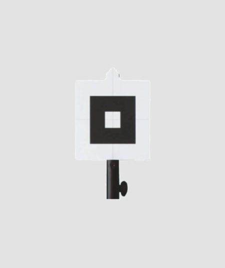
The Geomax Target is an essential accessory to the Zoom 3D Measuring System.
-

The revolution in laser scanners
The new BLK360 is here to offer even faster scanning – it only takes 20 seconds for a full scan – flexible and streamlined workflows thanks to the integrated VIS technology for automatic cloud merging in the field and smart job monitoring through the BLK app.
-
The innovation that is revolutionizing the world of 3D scanning.
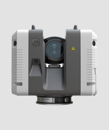
The new Leica RTC360 scanner impresses with its high performance, ergonomics, and flexibility (IMU, 5 cameras VIS, 3 cameras full HDR, GPS, Altimeter, Compass). It incorporates a smart combination of functions and capabilities, making users more productive than ever.
-
450,00 € χωρίς Φ.Π.Α.
The Geomax Target is an essential accessory to the Zoom 3D Measuring System.
