


RTK GNSS multi-band unit for accurate UAV navigation and mapping

")
")
Multi-Band RTK GNSS Module
649,00 € χωρίς Φ.Π.Α.
Description
RTK GNSS multi-band unit with centimetre accuracy. For precise UAV navigation and mapping with fewer GCPs. It is accompanied by a mobile app. Base line up to 60 km in RTK and 100 km in PPK.
PPK mapping with centimetre accuracy. Use fewer GCPs
Why camera timing is so important
Usually the autopilot activates the camera and records the coordinates at that moment. When the drone is flying at 20 m/s and the GPS is operating at 5 Hz, this means that your autopilot will only have position measurements every 4 m, which is not suitable for accurate geo-referencing. In addition, there is always a delay between the trigger and the actual moment the photo is taken.
Reach eliminates the delay
Reach solves the problem of positioning by connecting directly to the camera’s hot shoe port, which is synchronized with the shutter. The time and coordinates of each photo are recorded at a resolution of less than one microsecond. This method allows you to use GCP only to check your accuracy.
NTRIP or other Reach as a base station
To calculate coordinates to centimetre accuracy in PPK and RTK, Reach needs corrections from a base station. It could be either another Reach receiver or an NTRIP service. VRS is also supported.
Compatibility
The Reach M2 and M+ work seamlessly with other Reach receivers over any link and are compatible with any other receiver that supports RTCM3 and NTRIP.
Reach M2
It provides powerful performance and fast set-up, enabling work on long baselines.
- RTK: Up to 60 km
- PPK: Up to 100 km
- Time to correct: 5 seconds
- Frequency bands: multi-band
- RINEX log update rate: up to 20 Hz*

Related products
-


The Ulefone Power Armor 14 Pro joins Ulefone’s range of durable phones with a large battery.
-
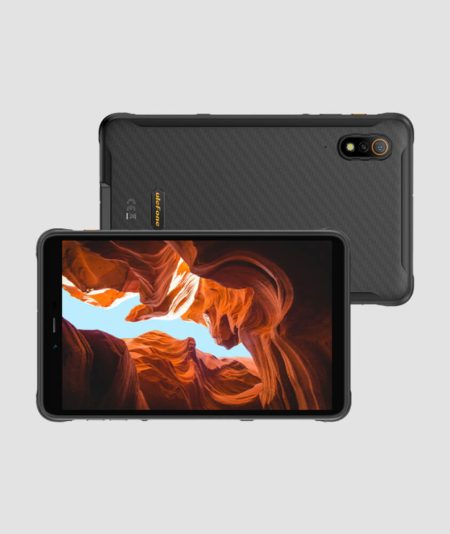
ULEFONE presents its first rugged ARMOR PAD tablet with Android 12, with outstanding features and IP68, IP69K and MIL-STD810H certifications for extremely harsh conditions.
-
 180,00 € χωρίς Φ.Π.Α.
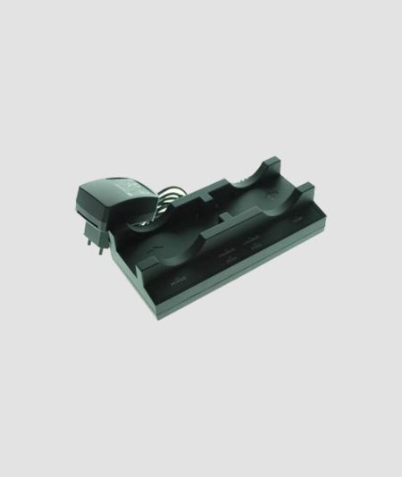
The Geomax ZCH202 Dual battery charger for ZBA202 Li-Ion Battery is a highly-functional charger. This charger works well with the Geomax Zenith10 and Zenith20 GNSS receivers. Also, it provides a long working time which ensures a long-lasting operation.
-
 2.499,00 € χωρίς Φ.Π.Α.
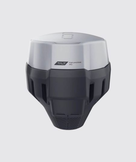
GNSS RTK multi-band receiver with tilt sensor. High-precision imaging even in hard-to-reach places. It is accompanied by a mobile app.


