


The Zenmuse L1 integrates a Livox Lidar module, a high-accuracy IMU, and a camera with a 1-inch CMOS on a 3-axis stabilized gimbal. When used with Matrice 300 RTK and DJI Terra, the L1 forms a complete solution that gives you real-time 3D data throughout the day, efficiently capturing the details of complex structures and delivering highly accurate reconstructed models.

")
")
")
Zenmuse L1
10.351,00 € χωρίς Φ.Π.Α.
Description
Highlights:
- Integrates a Lidar module,an RGB camera, and a high-accuracy IMU
- 2 km2 covered in a single flight
- Vertical Accuracy: 5 cm /Horizontal Accuracy: 10 cm
- Point Rate: 240,000 pts/s
- Supports 3 Returns
- Detection Range: 450 m@80% reflectivity, 0 klx
- Point Cloud LiveView
Includes a 6 months license for DJI Terra Electricity Version
Digitize without Compromise
Exceptional Efficiency Generate true-color point cloud models in real-time, or acquire 2 km of point cloud data in a single flight using the Livox frame Lidar module with a 70° FOV and a visible light camera with a 1-inch sensor.
Unparalleled Accuracy
Render centimeter-accurate reconstructions thanks to the high-accuracy IMU, a vision sensor for positioning accuracy, and the incorporation of GNSS data.
High Protection
The IP54 rating allows the L1 to be operated in rainy or foggy environments. The Lidar module’s active scanning method enables you to fly at night.
Livox Lidar Module
Frame Lidar with up to 100% effective point cloud results
Detection Range: 450m (80% reflectivity, 0 klx) / 190 m (10% reflectivity, 100 klx)
Effective Point Rate: 240,000 pts/s
Supports 3 Returns
Non-repetitive scanning pattern, Repetitive scanning pattern
RGB Camera, Everything in View
20MP
1-inch CMOS
Mechanical Shutter
High-accuracy IMU
Accurate Details at Your Disposal Vision Sensor for Positioning Accuracy
GNSS, IMU, RGB Data Fusion
Recreate the World in 3D Point Clouds
Point Cloud LiveView
Real-time point clouds provide immediate insights onsite, so operators are informed to make critical decisions quickly. You can also verify fieldwork quality by checking point cloud data immediately after each flight.
Measurement and Annotation
Acquire and communicate critical dimensions on the point cloud model using measurements and annotations.
One-stop Post-processing
DJI Terra fuses the IMU and GNSS data for point cloud and visible light calculations, in addition to conducting POS data calculations so you can effortlessly generate reconstructed models and accuracy reports.
Related products
-

-
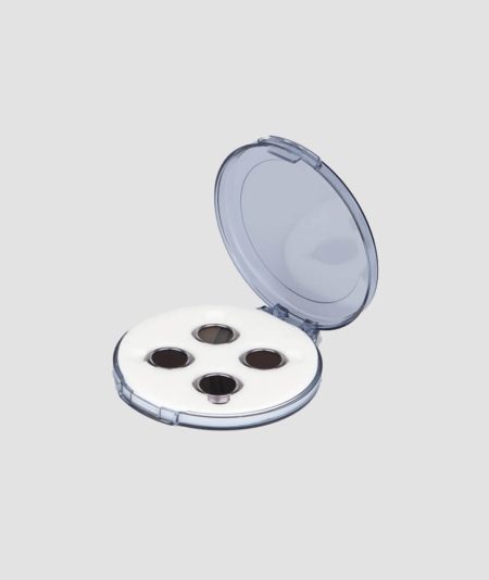
Take your photography skills to the next level with this pack of 4 NeutralDensity (ND) filters.
-
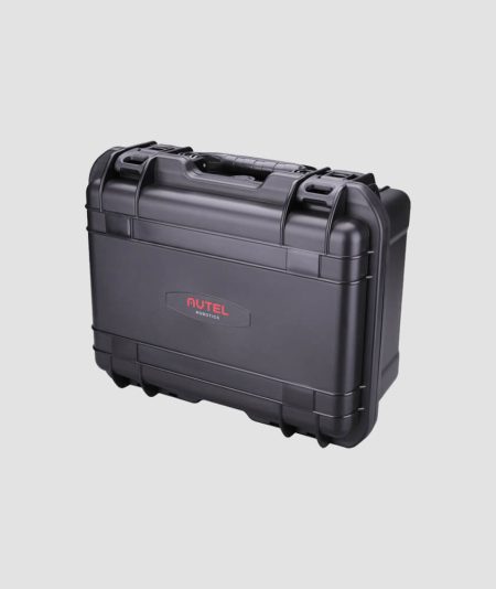
Protect your equipment from harsh environments. Made in the USA this military-grade SKB case with a GPC custom foam insert, designed specifically for EVO, holds your Aircraft and accessories
-
 3.747,00 € χωρίς Φ.Π.Α.
The Zenmuse H20 series gives a whole new meaning to flight efficiency. Unique intelligence and integrated design provide unprecedented aerial imaging capabilities. Welcome to the first hybrid sensor solution with the Zenmuse H20 series.


