


With the fixed-wing VTOL design, XAG M2000 Remote Sensing Drone is developed for high frequency and high demand aerial survey tasks of multiple scenarios, which allows one person to map fields of 533 hectares in an hour.

")
")
")
")
")
")
Description
Equipped with the XAG SuperX 4 Pro intelligent control system, the XAG M2000 has access to geographic data, which helps create digital field maps consistently and quickly to facilitate production decisions.
Accurate & Autonomous Flight
Positioning in centimetre level RTK
Automated flight planning
Flexible take-off and landing
VTOL fixed wing design
Quick release body
Advanced & Stable Imaging
XCam 20MP Pro Gimbal camera
XCam 26MP APS-C Gimbal Camera
XCam 20H Hybrid Gimbal Camera
XCam 20M Multispectral Gimbal Camera
The quick assembly XAG M2000 can be immediately deployed for operations. The combination structure of multiple rotors and fixed wings allows flexible take-off and landing. 3 kg EPP fuselage plus the high-energy-density battery provide up to 90 minutes flight time and a range of 86 kilometers in a single flight.
The SuperX 4 Pro Intelligent Control System endows XAG M2000 the power of fully autonomous flight at cm-level accuracy while capturing high-resolution images. With a built-in emergency response mechanism, it monitors the drone’s flight status in real time, and supports quick swapping between multi-rotor and fixed-wing flight modes, ensuring flight safety and survey efficiency.
Attachments
Related products
-
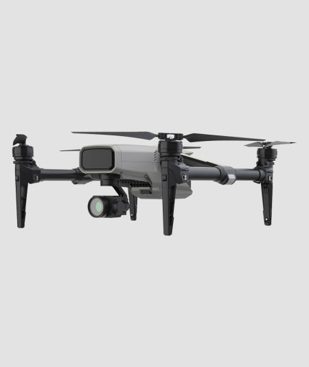

XAG M500 Remote Sensing Drone is designed for precision agriculture, with the capability to fly autonomously and capture high definition images with high-performance data processing. Partnering with XAG M500, you can better understand your farm to enable timely and effective actions.
-
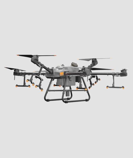
A New Flagship for Digital Agriculture. With a 30 liter spraying tank, the DJI Agras T30 takes aerial spraying efficiency to new heights. A revolutionary transforming body enables more effective spraying, especially for fruit trees.
-
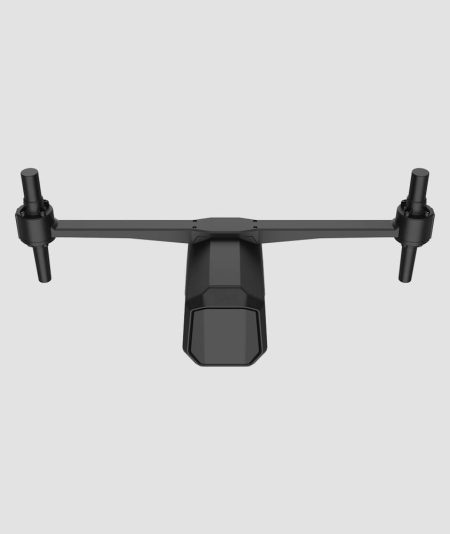
XAG AutoPilot Console empowers small-to-large agricultural equipment with capability to conduct high-precision farming operations. An automated steering system with access to signals from RTK basc stations, simply connected to mobile app and primed by easy tabs. From tillage, seeding, crop management to harvest, APC1 can ease you from long hours of concentration.
-
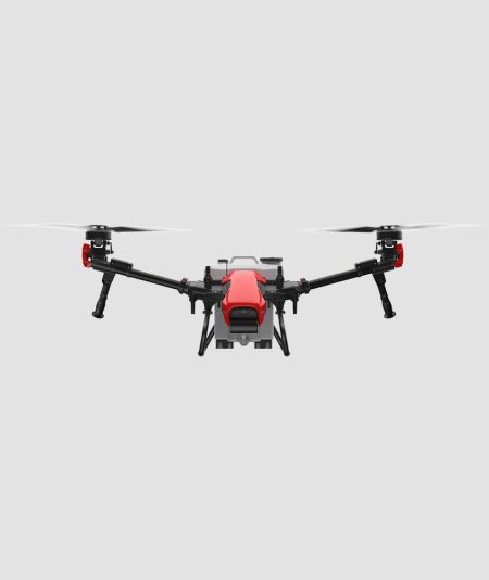
- Revolutionary architecture with 2 tilting rotors
- New SuperX 4 Intelligent Control System
- Equipped with XAG RevoSpray™, RevoCast™, and RealTerra™ technologies
- Brings new levels of efficiency to digital agriculture


